This hike was organized by Chatchay of the Meetup Group
http://www.meetup.com/NW-Hiking-Adventurers/events/138284452/ The trail starts on the west side of the Salmon River and travels away from the river for over 6 miles. Salmon Butte is at 4800 ft. Elevation gain on this hike is over 3300 ft. The trail has a gradual climb the entire way to the top. At times a bit steeper. The weather was incredible. Started at 65 deg and ended at 80 deg. Most of the hike was through the trees, so it felt cool the entire day. There is not many views on the way up. This makes the hike a slight bit boring. But the result is far from boring. At the top of the butte, the views were incredible. A small peek at the Three Sisters. Full views of Mt Jefferson, Mt Hood, Mt Adams, Mt Rainier and Mt St Helens. Also, I spotted off in the distance, downtown Portland. This is the first time I could see Portland from anywhere on the Cascades. The group I hiked with was very fun. There were 5 in our group including the hike leader. I overhead a couple of the hikers talking about where they were from. I heard one of them mention she was from New Jersey. I joined in the conversation and said I was born in Summit NJ. She is from Short Hills, the next town and attended school in Summit. Then I mentioned I lived in Denville for a bit and the other hiker said he was just there visiting his aunt and uncle. He is from Philly. Such a small world we live in. Along the trek to the Butte, I was stung by a yellow jacket on my left calf. We were near the butte, so I just pushed on. On the way down, I got stung again, in the same exact spot on my calf and near the same area on the trail. Further down the trail, a nest of bees were disturbed and they decided to attack the group. 4 of us got stung by them. Yep, right below the yellow jacket stings, a bee decided to sting me too. My left leg was hurting all the way down the rest of the trail. All and all the hike was still a lot of fun. The group had some good conversations and I learn something each time I hike with others. Pictures with descriptions below..
The hike itinerary from NW Hiker Site:
http://www.nwhiker.com/MHNFHike45.html
The trail has changed at its start. There used to be a road up to the trail head, but that road has been washed out and the trail extended to reach the original trail start. This adds about 2 miles to the total trip.
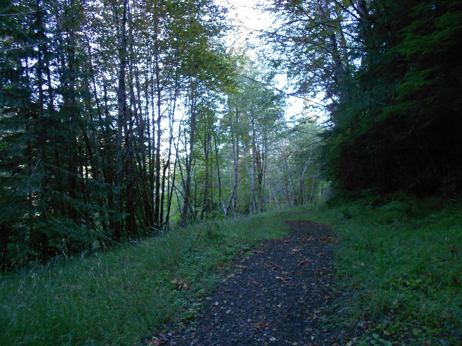
The trail quickly travels through dense tree cover.
A quick view of a rock formation along the trail.
Our first resting spot along the trail.
As the trail switch backs came up, the views were increased.
Mt Hood making an appearance about half way up the trail.
Near the Butte, Mt Jefferson comes into view.
The last stretch to the butte.
A sneak peek at Hood before reaching the butte.
Views from the top. The first is Mt Adams, Then Mt Rainier and Mt St Helens.
Mt Hood view from the butte. Devil's Peak in the foreground. Michael and I hiked to that point with the Boy Scouts in July during a back packing trip.
Portland can be seen from the butte.
Not sure, but I think I have read that this is what gives Salmon Butte it's name. From other angles it has an appearance of a fish. Not confirmed.
Another Hood shot.
From left to right, St Helens, Rainier, Adams.
Mt Adams to the right.
I thought these were birds. They are pine cones.
Another Hood shot.
4 of the 5 in our group. A group shot was taken at the butte. I will post that when it is shared with me.


No comments:
Post a Comment